Grade: Easy
Distance: 3 3/4 miles/6 km
Time: 1 3/4 to 2 hours
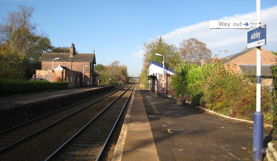
Start: Ashley Railway Station | what3words: ///draw.bags.tables
Map: OS Explorer 268
Terrain: Almost flat, surfaced tracks and unsurfaced footpaths
Barriers: 0 stiles, 3 kissing gates
Toilets: None on route, but available for patrons of the Greyhound Pub.
Open Monday to Saturday 11.30am - 11pm
Food served 12 noon - 2.30pm and 6.00pm - 9.00pm
(Please note that no food will be served on Monday or Tuesday evenings)
Sunday 12 noon - 10.30pm Food served 12 noon - 7.00pm
This route forms one of the Knutsford Rail Walks leaflet which is a collection of local walks from railway stations in the Knutsford Local Area Partnership. The leaflet was developed by members of the partnership and the Mid Cheshire Rail Users' Association.
Terrain: The walk is almost flat and is on surfaced tracks except between Ryecroft Farm and Birkin Farm, which are on clearly marked footpaths.
Barriers: 0 stiles, 3 kissing gates
Toilets: There are no facilities on the route, but toilets are available to patrons of the Greyhound pub.
The village of Ashley lies very close to both the M56 motorway and Manchester Ringway Airport, but retains a rural charm whilst serving a strong farming community. The walk is mainly level and offers contrasts of the rural and the major transport links which pass through and over this corner of Cheshire.
My Planner
To build your own Itinerary, click  to add an item to your Itinerary basket.
Already saved an Itinerary?


- Chester
- What's On
- Things To Do
- Accommodation
- Food & Drink
- Shopping
- Cheshire Inspiration
- Read our blog
- Special Offers
- Top Picks
- Family Breaks
- Itineraries
- Places for children under 5
- 24 hours for the family in Chester
- Family Fun
- 24 hours in Cheshire
- Romantic Weekend
- 48 adventure packed hours in Cheshire
- Midweek Cheshire Break
- Rainy Day Alternatives
- Midweek Chester Break
- Top 10 things to do in Chester
- Family Fun in Delamere
- Discover Cheshire's Salt Story
- Family Fun in Warrington
- Scenic Places around Warrington
- Cheshire Cheese Trail
- Cheshire Ice Cream Trail
- Chester on a Budget
- Short Breaks
- Cheshire Weddings
- Chester for Students
- Churches in Cheshire
- Film & TV Locations
- Explore
- Visitor Info


